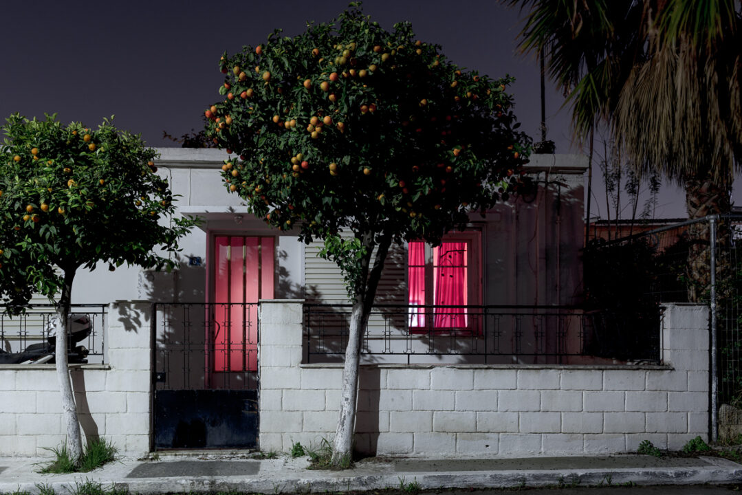
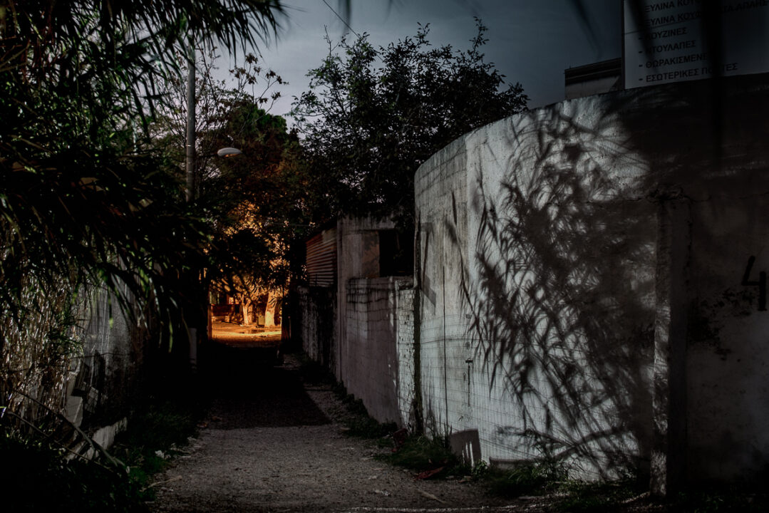
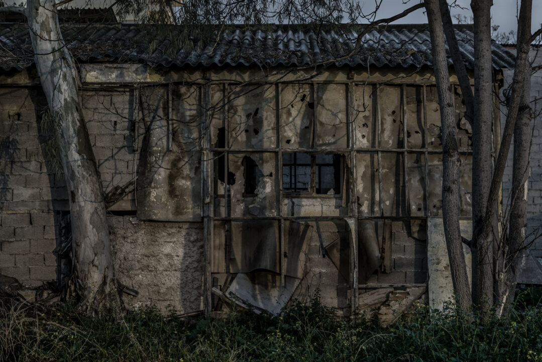
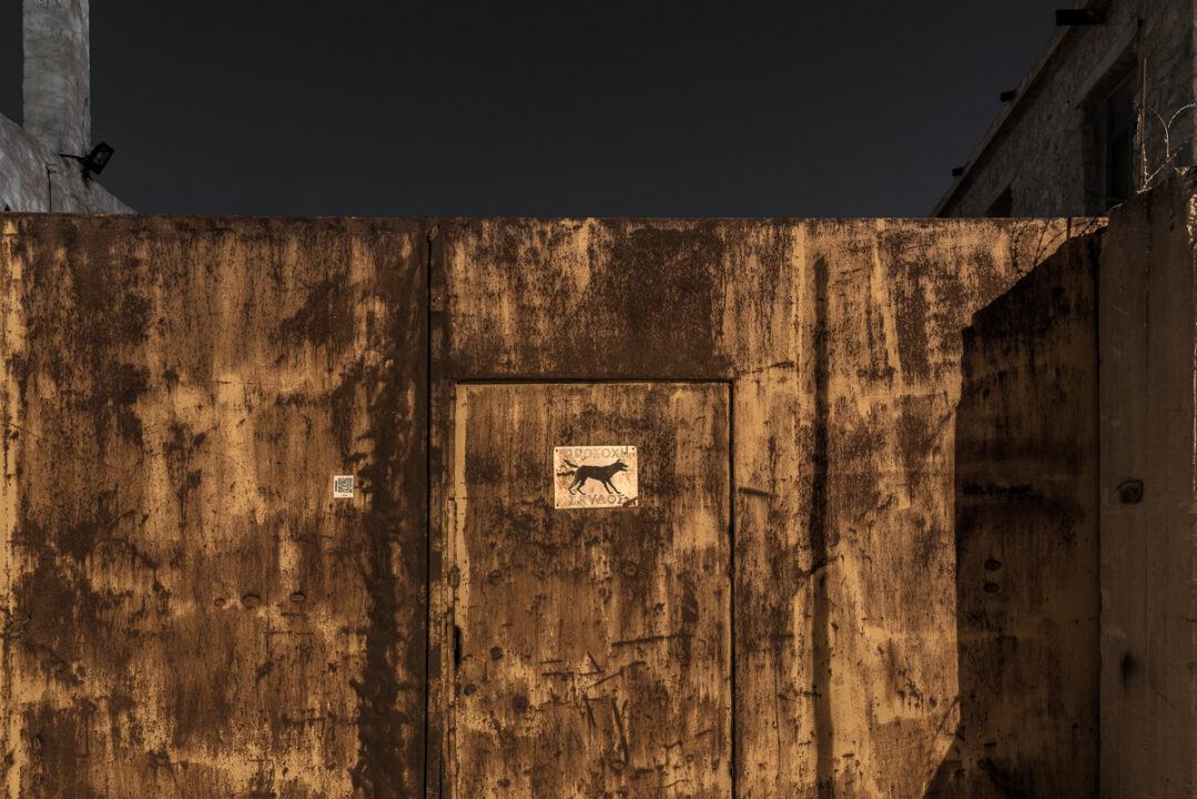
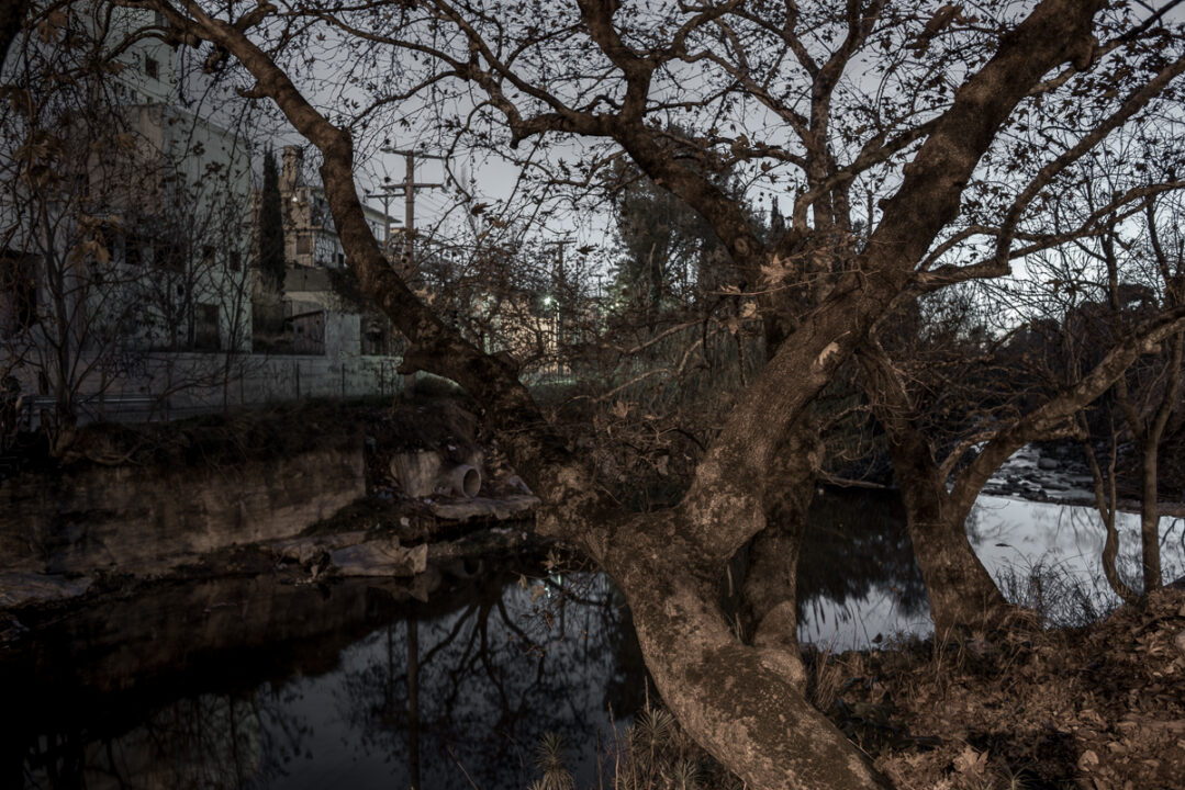
Lungo le rive del fiume Kifissos di Atene, c’era una volta un grande uliveto, che è stato conservato intatto fino al 1890, secondo la mappa disegnata dal cartografo tedesco Johann Kaupert. Tra 170.000 alberi mappati c’era il primo edificio industriale, una conceria. L’ubicazione dell’industria pesante nel XIX secolo pose fine a questo immenso giardino, ammirato da storici e viaggiatori. Oggigiorno crescono solo le erbacce urbane e gli alberi invasivi. Le tracce lasciate dalla topografia del passato sono coperte di polvere e dissolte in rumori inquietanti. L’oscurità della notte sta trasformando il luogo, in cui ombre di lussureggianti verde scuro stanno emergendo dalle strade sporche di questo indisciplinato paesaggio industriale.
Cronologia del paesaggio
Questo oliveto fu piantato nel VI secolo quando i governatori di quel tempo incoraggiarono la coltivazione di ulivi e viti per la produzione di colture da reddito; l’oliveto apparteneva a molti piccoli agricoltori ed era protetto principalmente come strumento politico per ridurre il controllo aristocratico sull’Atene rurale (Britannica, Chester G. Starr). Alla fine del XIX secolo i cartografi Curtius e Kaupert, in Germania, costituiscono un’impronta inestimabile dell’oliveto (1862-1897) all’interno del Karten von Attica, poco prima che l’area diventi il sito industriale della capitale dello stato di nuova costituzione Grecia. Il paesaggio cambia drammaticamente durante il XX secolo quando ospita prima i rifugi greci dall’Asia Minore e poi la migrazione interna delle persone, in cerca di lavoro e di una vita migliore, dalle aspre campagne ad Atene. Zone di terra coltivata e orti sopravvivono tra le fabbriche fino alla metà del XX secolo, alcune delle quali fino ad ora, ma non gli ulivi. Oggi, mentre l’industria si sposta, i mega progetti che vengono pianificati per lo sviluppo dei pochi spazi vuoti edificabili, si sono trasformati in un serrato conflitto tra urbanisti, architetti, amministratori e le persone che vivono, vi abitano o che si impegnato per tutela.
Metodologia frammentaria
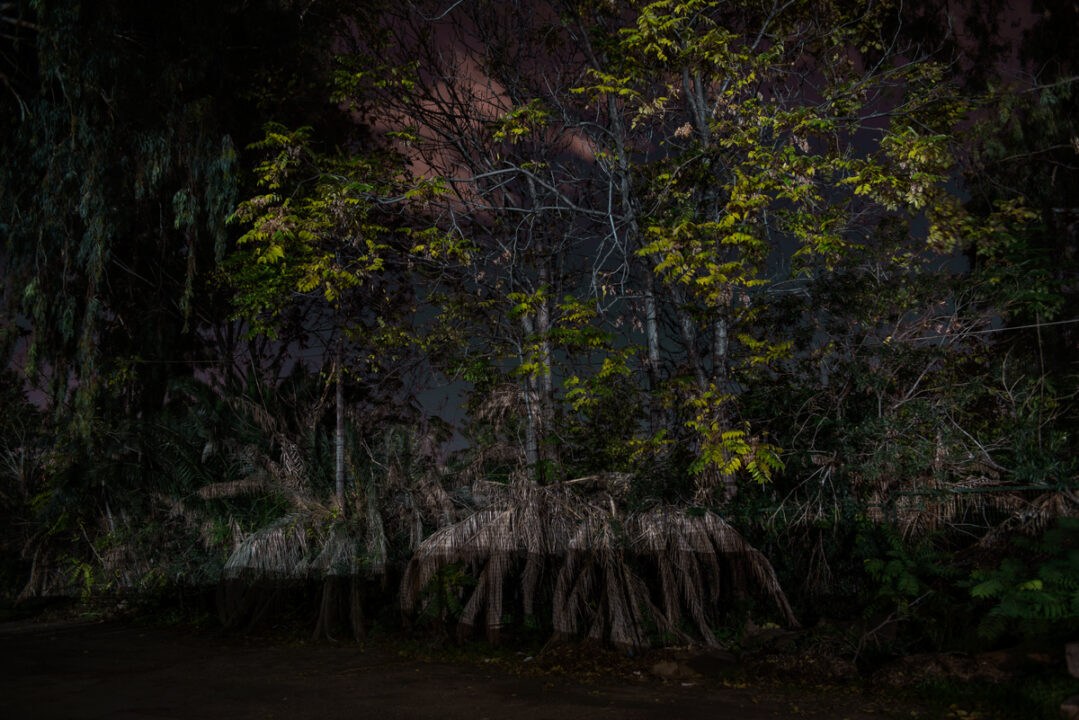
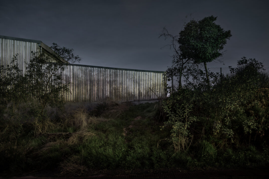
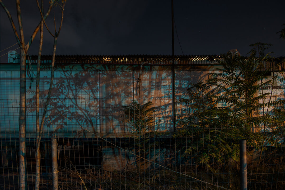
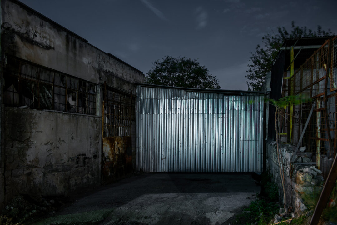
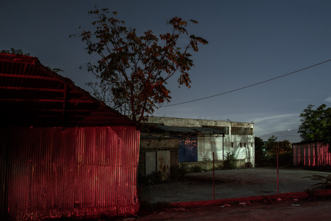
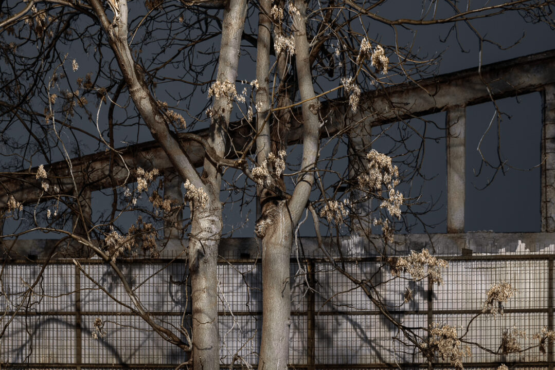
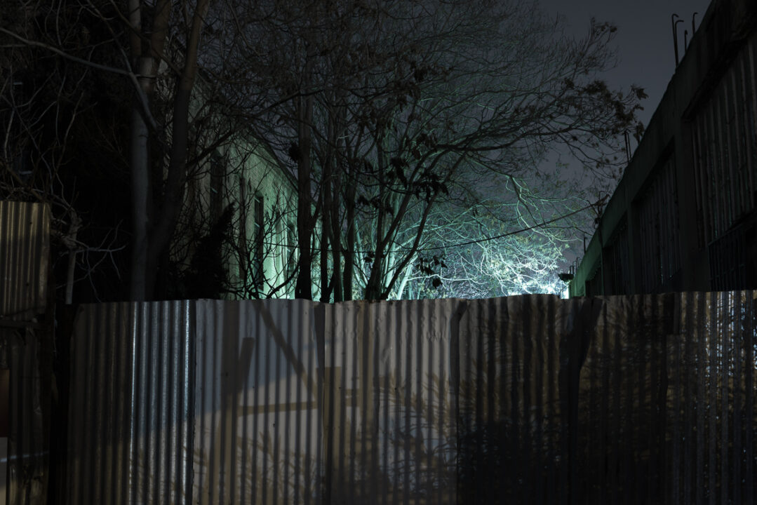
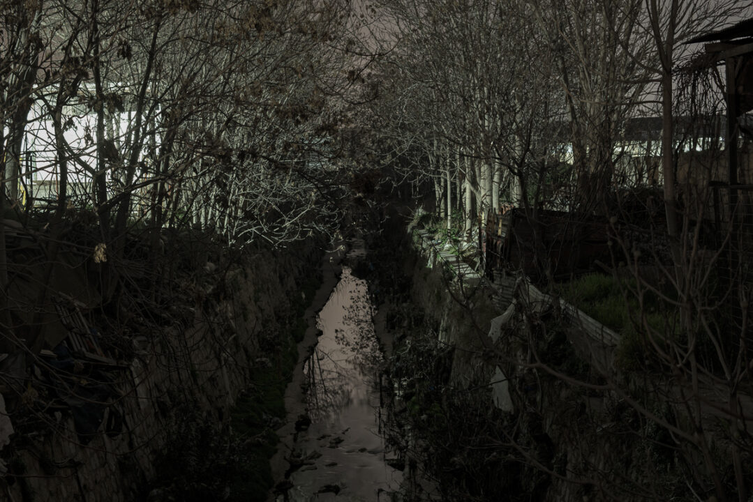
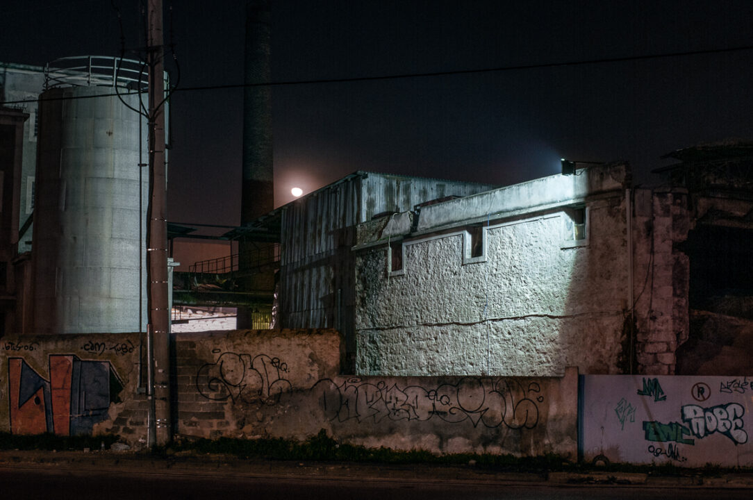
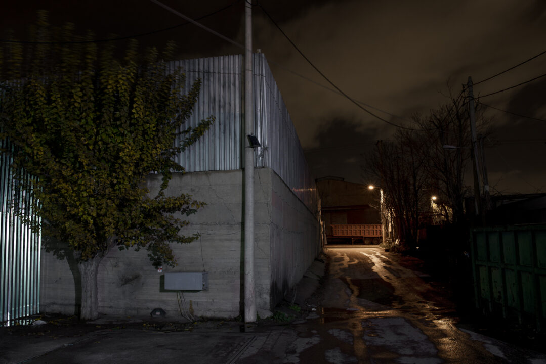
Ero nella zona dal 2012 osservando, il fiume, i torrenti e la disposizione delle antiche strade sono ancora presenti sotto la polverosa terra polverosa contemporanea; i pochi insediamenti rimasti degli ultimi contadini, minuscole isole in un mare di enormi conchiglie industriali; le erbacce urbane che stanno colmando le lacune come se i vecchi alberi cercassero di uscire dalla terra; questa inattesa bellezza effimera, circondata da uno scenario anarchico e urbano, è ciò che mi attrae nella zona. La metodologia che seguo è frammentaria in quanto non desidero creare un’impronta o documentare la realtà. Ciò che desidero è studiare la topografia contemporanea attraverso gli elementi storici che l’hanno creata, scoprire i paesaggi che ritraggono, a volte in modo formale, questa bellezza emergente dalla ruvidità dell’ambiente industriale e dall’estrema distesa della città. Ho deciso che questo potrebbe essere meglio raggiunto durante la notte in cui il lontano orizzonte scompare, sollevando frammenti di connessioni con il passato, richiamando ricordi e provocando incontri inaspettati. Passando dalle vecchie mappe alle mappe geografiche di Google, leggendo articoli e studi, e poi camminando nella zona, cercando di trovare dove poter mettere in scena il paesaggio che sarà contemporaneo, ma potrebbe anche essere uno sguardo immaginario alla topografia del passato romantico.
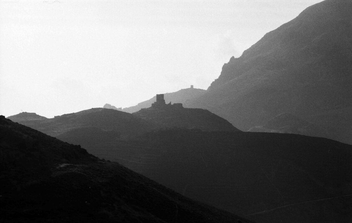
Dark Tree
Along the banks of Kifissos river of Athens, there was once a great Olive Grove, that was preserved intact until the 1890s, according to the map drawn by the German cartographer Johann Kaupert. Among 170.000 trees mapped there was the first industrial building, a tannery. The siting of the heavy industry in the 19th century put an end to this immense garden, marveled by historians & travelers. Nowadays only urban weeds & invasive trees are growing. The traces left of past topography are covered by dust & lost in disturbing noises.The darkness of the night though, is transforming the place as shadows of dark green lushes are emerging from the dirty roads of this unruly industrial landscape.
Landscaping chronology
This olive grove was planted during the 6th century when the governors of that time, encouraged the growing of olive trees and vines to produce cash crops; the olive grove belonged to many small farmers and was protected mainly as a political tool for reducing the aristocratic control over rural Athens (Britannica, Chester G. Starr). At the end of 19th century the Germany Cartographers Curtius and Kaupert, make an invaluable accurate imprint of the olive grove (1862-1897) within the Karten von Attica, just before the area becomes the industrial site of the capital of the newly established state of Greece. The landscape changes dramatically during the 20th century when it houses the Greek refuges from the Asia Minor first, and then the internal migration of people, seeking work and better life, from the harsh countryside to Athens. Patches of agricultural land and vegetable gardens survive among the factories up to the mid 20th century, few of them up to now, but not the olive trees. Today, as the industry moves out, the mega projects that are being planned for the development of the few left empty spaces become an issue of conflict between the
developers and the people.
Fragmental methodology
I was in the area since 2012 observing the river, the streams and the layout of the ancient roads are still existing underneath thecontemporary dusty rough land; the few settlements left of the past farm workers, tiny islands in a sea of huge industrial shells; the urban weeds that are filling the gaps as if the old trees trying to come out of the land; this unexpected ephemeral beauty surrounded by an anarchic and urban scenery is what attracts me in the area. The methodology that I follow is fragmental as I do not wish to make an imprint or document reality. What I wish is to study the contemporary topography through the historic elements that created it, to discover the landscapes that depict, sometimes in a formalistic way, this emerging beauty out of the roughness of the industrial environment and the extreme expanse of the city. I decided that this could be better achieved during the night when the distant horizon disappears, relieving fragments of connections with the past, recalling memories and provoking unexpected encounters. Going through from the old maps to Google earth maps, reading articles and studies, and then walking in the area, trying to find where I could stage the landscape that will be contemporary but might also be an imaginary glance to the romantic past topography.